
guide
How do you build a geospatial lakehouse on Google Cloud?
Build a geospatial lakehouse on Google Cloud with BigQuery and S2 for vector work, Earth Engine for managed raster analysis, and governance across the composition.
Read direct explanations of geospatial lakehouse architecture, raster data pipelines, governance, and production delivery.
Build a geospatial lakehouse on Google Cloud with BigQuery and S2 for vector work, Earth Engine for managed raster analysis, and governance across the composition.

Build a geospatial lakehouse on Snowflake with native spatial SQL and H3 in a governed center, plus Snowpark and container attachments for raster and graph work.

Build a geospatial lakehouse on Databricks with native spatial SQL and H3 for vector work, governed file workflows for raster, and one catalog over all of it.

The Geospatial Lakehouse Stack describes a production geospatial system with two models, six capability layers and five lifecycle states from acquire to serve.

The Geospatial Medallion Architecture is a five-stage lifecycle for geospatial data, extending bronze, silver, and gold with explicit acquisition and serving stages.
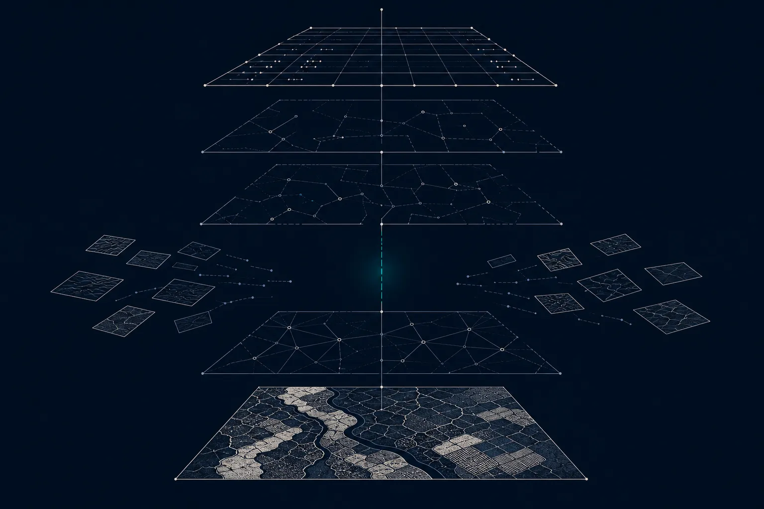
Geospatial pipelines stall when teams treat production as a late engineering step. Clear outputs, ownership, governance, and operations change the result.
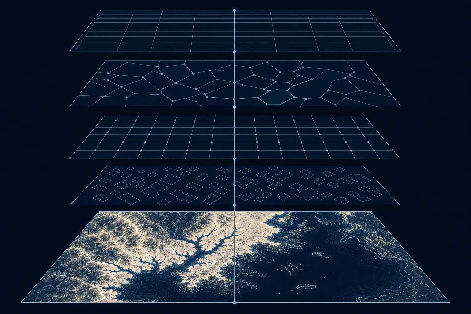
Learn how imagery and gridded data become governed, queryable lakehouse tables through metadata extraction, spatial indexing, and reproducible pipelines.
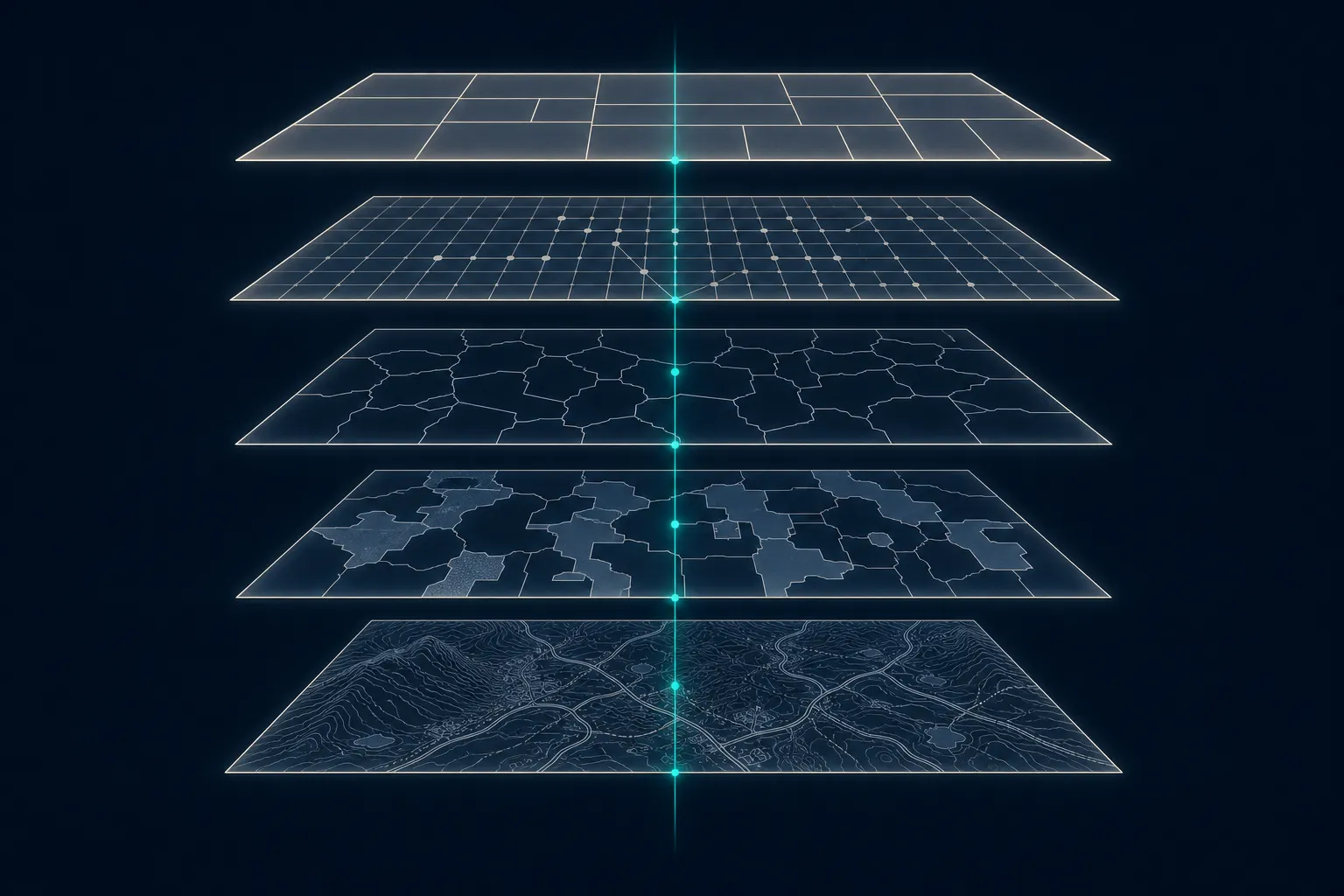
A geospatial lakehouse brings raster, vector, and other spatial workloads into the governed data platform an organization already operates and trusts.